Realty services
Tell us about the property you are looking for, selling, or planning to develop. Begin with your objectives and the details you already have.
- Property selling
- Real estate transactions
- Land titling / processing

Realty, land surveying, aerial mapping, and geospatial solutions. Based in Puerto Princesa City, Palawan, serving private, corporate, and government clients across the Philippines.

Whether your next step involves a property inquiry or a land survey, start with a conversation about your location, documents, and goals. We will help identify the service your project needs.
Tell us about the property you are looking for, selling, or planning to develop. Begin with your objectives and the details you already have.
Discuss your survey requirements before moving forward. Your property's location and available plans help establish the right scope.
Specific service availability, scope, requirements, and fees are confirmed after reviewing your inquiry.
Choose your preferences to prepare a property inquiry. Available listings will be added after verification.
No verified property listings are published yet. These options describe your preferences, not confirmed inventory.
Expand a service to explore its purpose and a conceptual example. Actual deliverables, accuracy, formats and approval requirements are agreed for each project.
Locate or check property boundaries against available survey records and field measurements.
Illustrative boundary plan with corner labels and a coordinate schedule.
Discuss this service ↗Plan the division of a parcel into smaller lots, or the combination of adjoining parcels, subject to document review and applicable approvals.
Illustrative lot layout showing proposed divisions and access.
Discuss this service ↗Measure terrain elevations and visible site features to support planning and design.
Illustrative contour map with spot elevations.
Discuss this service ↗Collect alignment, terrain and parcel information, or set out agreed construction positions.
Illustrative road alignment and cross-section sketch.
Discuss this service ↗Record the measured locations and dimensions of completed site features for comparison with design information.
Illustrative building footprint and measured offsets.
Discuss this service ↗Capture an aerial perspective for site documentation, mapping and project monitoring.
Illustrative aerial mapping coverage grid; actual imagery depends on the project.
Discuss this service ↗Organize spatial information into map layers to examine locations, land features and project context.
Illustrative layered map showing parcels, a road and vegetation zones.
Discuss this service ↗Discuss survey control, site measurements and technical mapping requirements for your particular project.
Illustrative survey control network and point schedule.
Discuss this service ↗Geodetic Engineer / Real Estate Broker
A graduate of Visayas State University, Engr. Antolihao placed eighth in the August 2014 Geodetic Engineering Licensure Examination. He founded the surveying firm in 2018 and became a licensed Real Estate Broker in 2022.
The business adopted the name Antolihao Realty and Land Surveying Services in May 2024.
We listen to each client's concerns and requirements, with a focus on reliable surveys, timely outputs, accuracy, and the safety and well-being of our staff and clients.
Our values: honesty, integrity, mutual respect, accountability, efficiency, trust, and exemplary service.
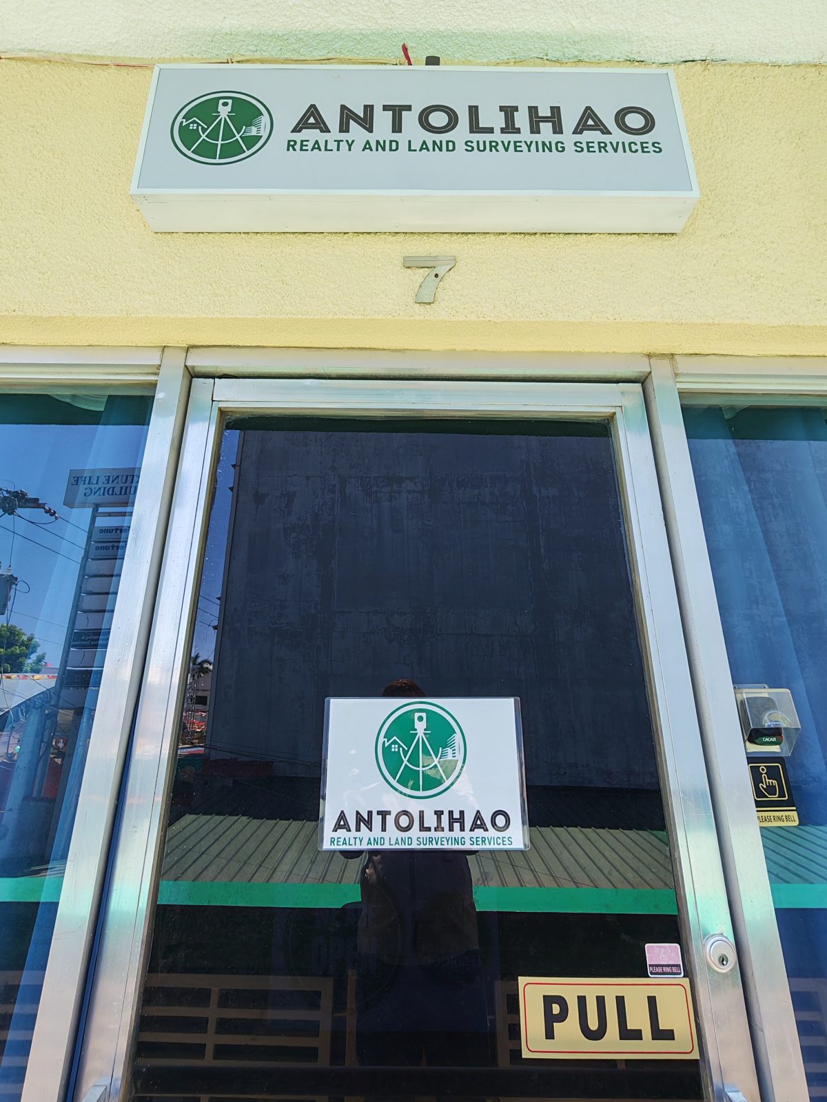
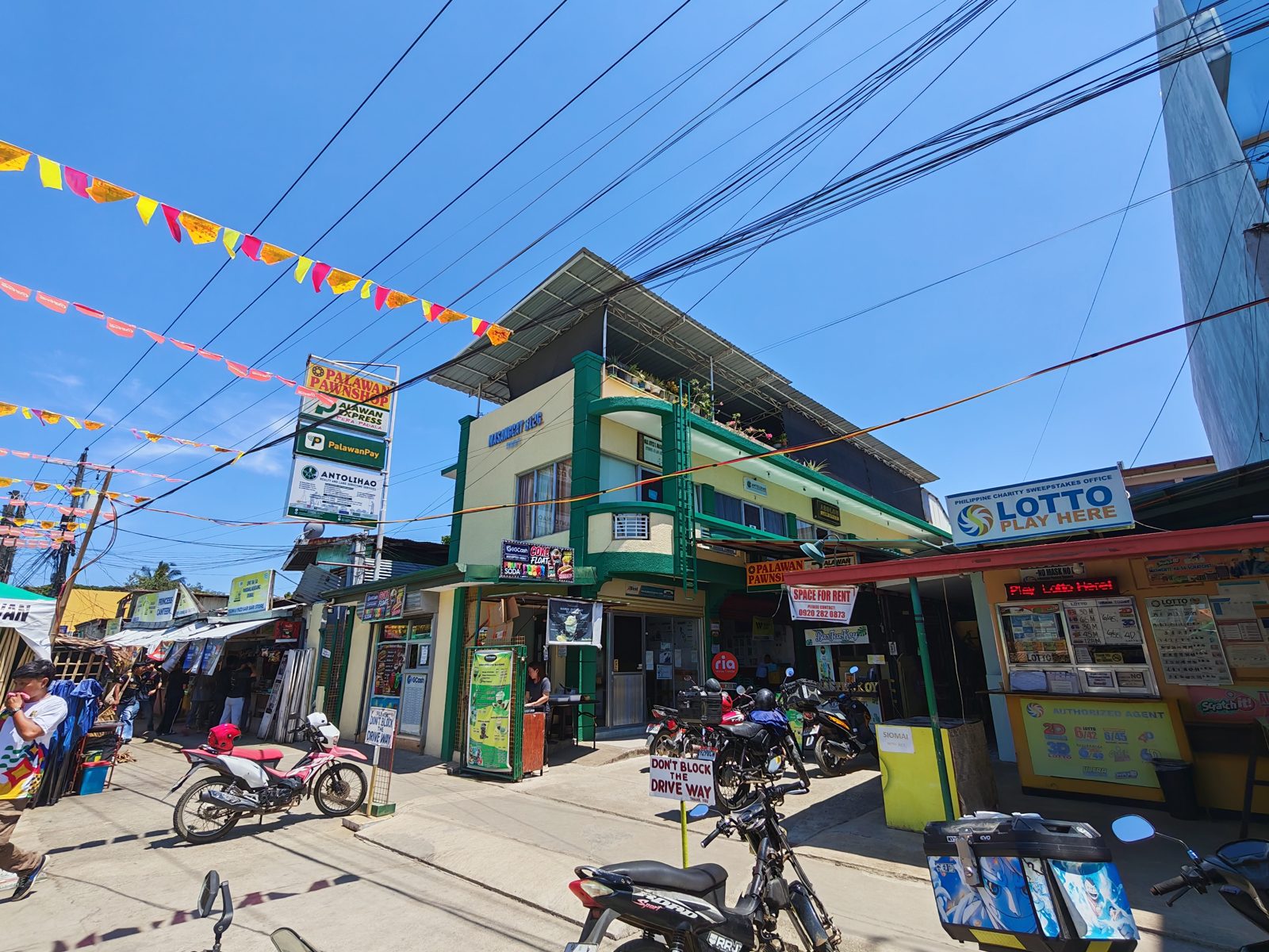
Unit 7, 2nd floor, Masangcay Bldg., #18 Fernandez Street, Brgy. Tanglaw, Puerto Princesa City 5300, Palawan, Philippines.
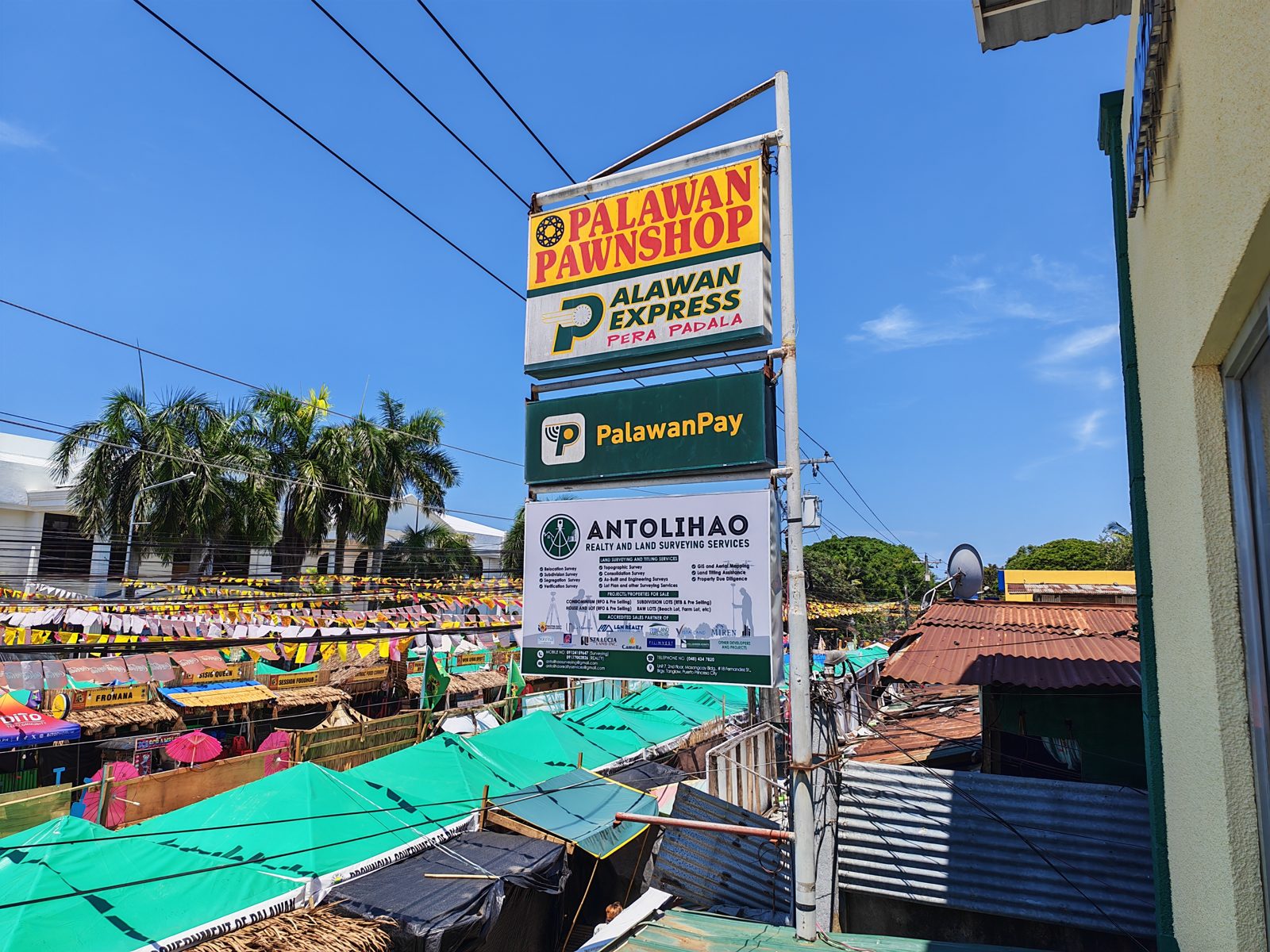
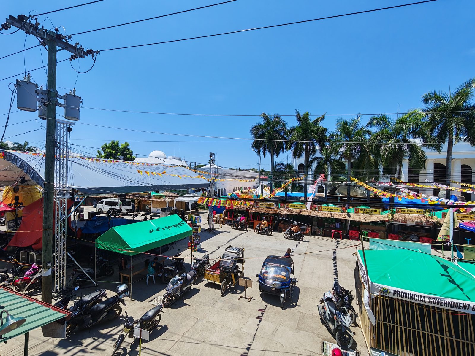
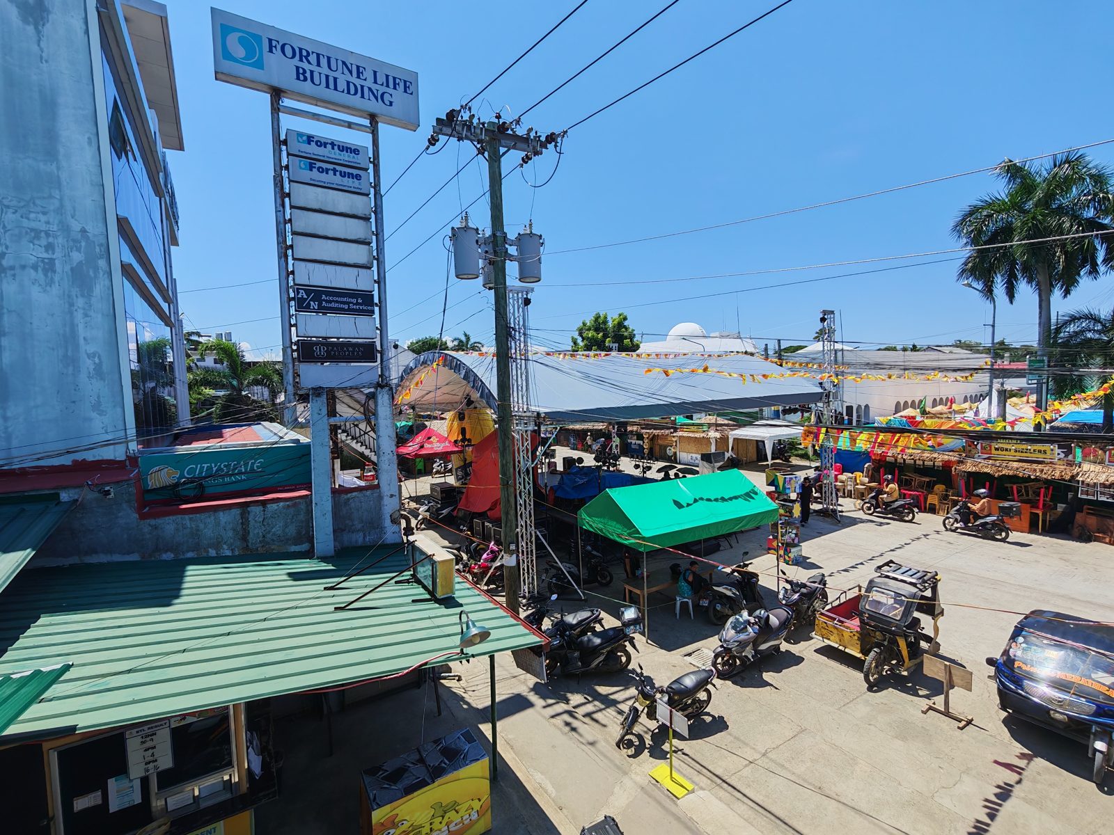
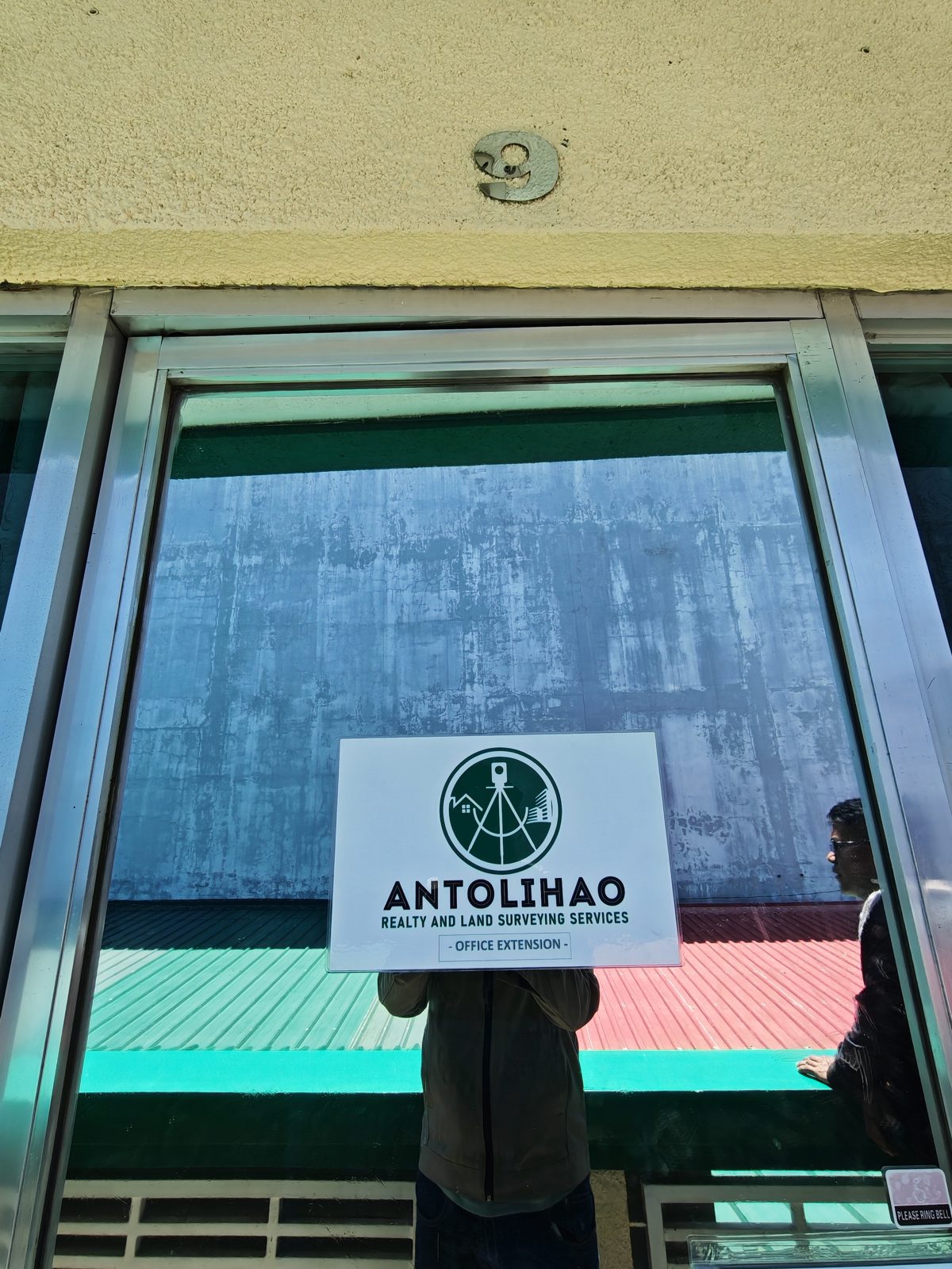
Surveying and aerial videos shared by Antolihao Land Surveying. Facebook hosts these videos and may require cookies or sign-in to play them. If a player is unavailable, use its Watch on Facebook link.
Describe what you need, where the property is located, and what you hope to achieve.
Prepare available property documents, existing plans, and any questions for discussion.
Confirm service availability, the proposed scope, requirements, and fees before work begins.
Prepare a short project brief using this form. Save it and attach it to an email to the appropriate team below, or bring it to our Puerto Princesa office.
Visit: Unit 7, 2nd floor, Masangcay Bldg., #18 Fernandez Street, Brgy. Tanglaw, Puerto Princesa City, Palawan. This form saves your brief on your device; it does not send it.